
News · Port Huron
The waterfront and the blocks behind it
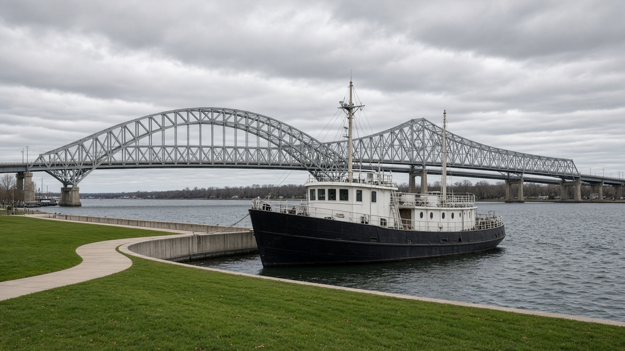
Port Huron’s public edge is the St. Clair River. The blocks behind it are the city. Both have to be true at once, or the waterfront is only a path.
Military Street and Huron Avenue are the downtown grid, a short walk from the bank. Fort Gratiot Light marks the lake end, where the river leaves Lake Huron. The Blue Water Bridge marks the other direction, upriver, and the crossing to Sarnia. Between them the Michigan bank is public water and a working channel. Businesses on the streets behind that bank depend on the river being close. They also depend on people who are not there for the river.
This Sunday piece does not name a business, a wait at the bridge, or a count of people on the path. The relationship is the story. A river path can be busy while the block behind it is closed, and a downtown can be open while the water is only a view from a car. The useful city is the one where you can walk from a sidewalk errand to the river without changing towns.
Walk the bank, then one block inland, then the bank again. If the inland block has nothing to do with the water except a sign pointing to it, say so. The waterfront is public. The blocks behind it are the test of whether the public edge has a town attached.